
Engineering-level topography & high-precision geodetic survey
We deliver high-precision engineering-level topography and geodetic services for civil infrastructure and industrial projects utilizing robotic total stations (Leica / Topcon) and dual-frequency GNSS receivers for sub-centimeter accuracy.
Topographical surveys, construction setting out, profiles, and deformation monitoring
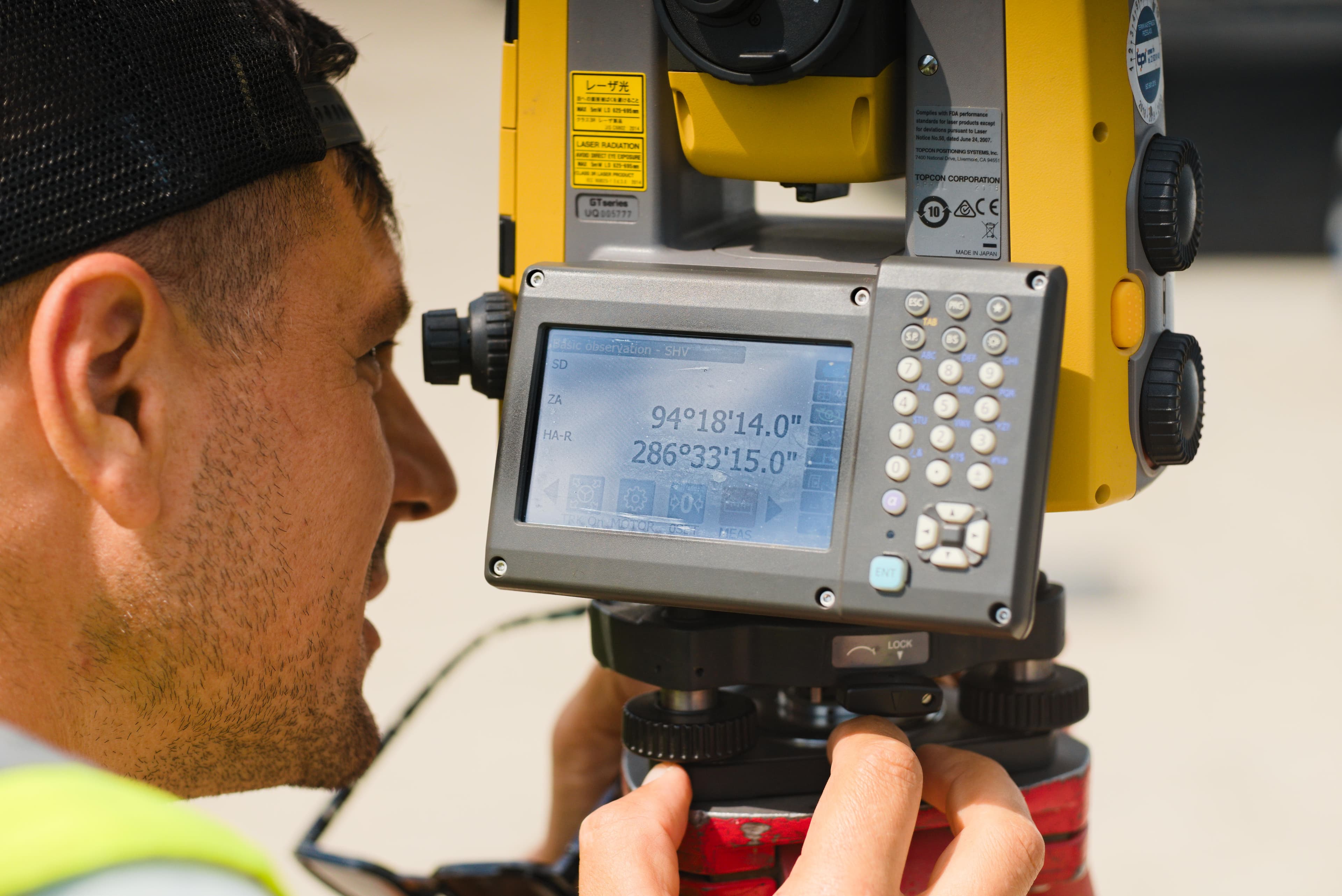
Engineering-level topography & high-precision geodetic survey
Key Technical Features
ANCPI Clasa I & Standarde ISO
Our services are executed by ANCPI Class I authorized engineers, adhering strictly to ANCPI DocCad, E-Terra, and ISO 9001/27001 standards.

Topographical Surveys for PUG/PUZ/PAC
Preparation of digital site plans required for building permits and urban planning approvals.
Longitudinal & Cross-Sectional Profiles
High-precision altimetric profiling for roads, bridges, and utility line engineering.
Construction Axis & Grid Setting-Out
Continuous site assistance, axis alignment, foundation staking, and property line layout.
Structural Deformation & Movement Monitoring
Tracking micro-displacements and building settlement over time using high-precision leveling.
Field Equipment
Topographical Deliverables
Topographical Engineering Workflow
Documentary Audit & ROMPOS Setup
Reviewing existing geodetic points and calibrating GNSS receivers to national reference networks.
Optical & RTK Data Acquisition
On-site measurements using robotic total stations and dual-frequency GNSS receivers.
CAD Processing & 3D Terrain Modeling
Compiling field data, generating 3D terrain surface models (TIN/DTM), and breakline cleanup.
Quality Control & Geodetic Tolerances
Verifying closures against control points and confirming legal precision thresholds.
OCPI Approval & Final Delivery
Submitting documentation to OCPI and delivering verified DWG/PDF files.
Topographical Use Cases (B2G & B2B)
Public Sector (B2G)
- Infrastructure and National/Regional Road Authorities
- Regional water and wastewater utility operators
- City councils developing master urban plans (PUG / PUZ)
Private Sector (B2B)
- General construction contractors (grid setting-out and elevation control)
- Architectural and structural engineering firms
- Private landowners requiring exact boundary verification
Request a Proposal for Engineering-level topography & high-precision geodetic survey
Contact us today for a free consultation and a personalized quote for your project.
Explore Other Megagis Services
Systematic Cadastre & Free National Land Registration
End-to-end management of systematic land registration at municipality or sector level
GIS Systems & Digital Cartography
Spatial database design, ArcGIS Enterprise servers, and multi-format conversion
Local Registry of Green Spaces (RSV)
Green asset inventory, phytosanitary health assessment, and WebGIS for municipalities
Specialized Technical & Legal Consulting
Institutional liaison, ANCPI/OCPI approval assistance, and public admin support