
Local Registry of Green Spaces (RSV)
We build the official Local Registry of Green Spaces compliant with Law 24/2007 for Green Space Management. Our solution combines public property GIS digitization, field inventory of vegetation, individual tree health diagnosis, and data integration into a municipal WebGIS portal.
Green asset inventory, phytosanitary health assessment, and WebGIS for municipalities
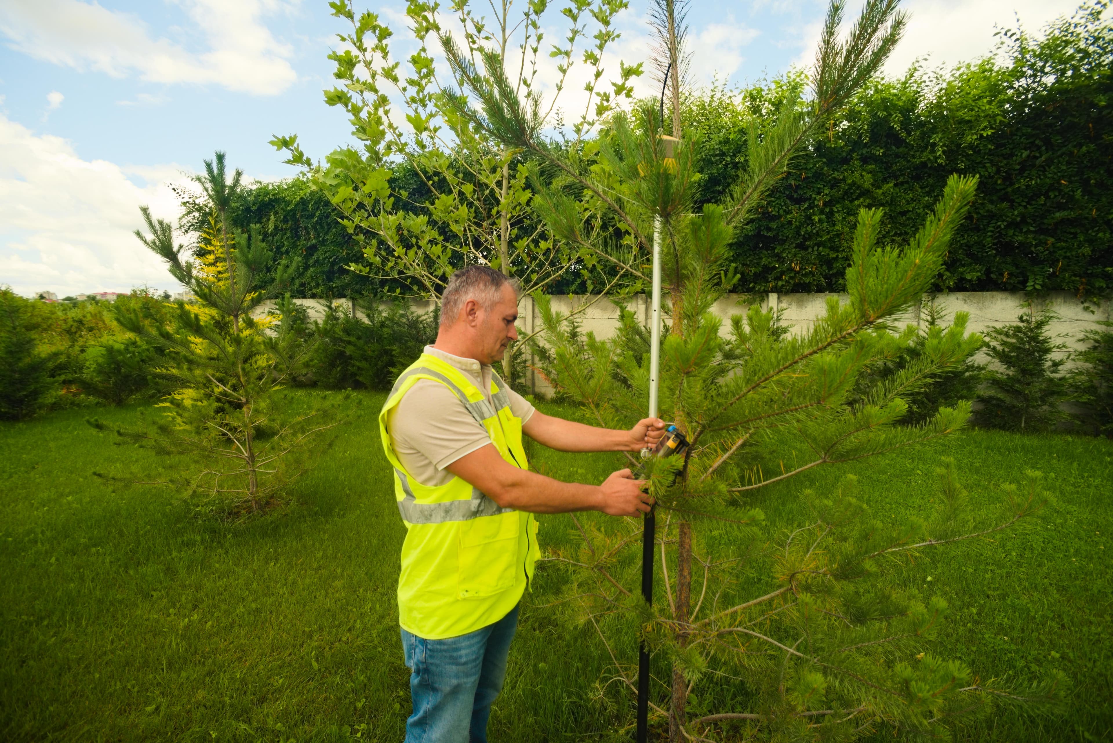
Local Registry of Green Spaces (RSV)
Key Technical Features
ANCPI Clasa I & Standarde ISO
Our services are executed by ANCPI Class I authorized engineers, adhering strictly to ANCPI DocCad, E-Terra, and ISO 9001/27001 standards.
Dendrological Field Inventory
GPS RTK positioning of every individual tree, measuring canopy/trunk diameter, and species identification.
Phytosanitary & Health Assessment
Diagnosing decay, cavities, pest damage, and categorizing mechanical risk levels.
Green Area Per Capita Calculation
Calculating environmental benchmarks established by EU directives and national Law 24/2007.
Dedicated RSV WebGIS Platform
Online management system with search by tree ID, species, green zone, and pruning maintenance logs.
Proven Track Record
Complete RSV Package for Municipalities
Green Space Registry Workflow
Park & Green Zone Delineation
Field mapping of urban green space boundaries within municipal limits.
Field Survey & RTK Logging
Capturing exact tree locations and filling electronic dendrological data sheets.
Phytosanitary Analysis & Recommendations
Assessing structural health and recommending pruning or safety removal measures.
Physical Register & Map Atlas Production
Compiling hardcopy registries and cartographic map atlases by green space category.
WebGIS RSV Portal Launch
Deploying the database to the municipality's public portal and training staff.
Green Space Registry Stakeholders
Public Sector (B2G)
- City, Town, and Local Municipalities (statutory compliance under Law 24/2007)
- Public Parks and Environmental Management Services
- National Environmental Guard & Protection Agencies (APM)
Private Sector (B2B)
- Real estate developers preparing environmental impact assessments
- Private university or hospital campus managers
- Landscaping firms requiring accurate tree inventories
Request a Proposal for Local Registry of Green Spaces (RSV)
Contact us today for a free consultation and a personalized quote for your project.
Explore Other Megagis Services
Systematic Cadastre & Free National Land Registration
End-to-end management of systematic land registration at municipality or sector level
Engineering-level topography & high-precision geodetic survey
Topographical surveys, construction setting out, profiles, and deformation monitoring
GIS Systems & Digital Cartography
Spatial database design, ArcGIS Enterprise servers, and multi-format conversion
Specialized Technical & Legal Consulting
Institutional liaison, ANCPI/OCPI approval assistance, and public admin support